
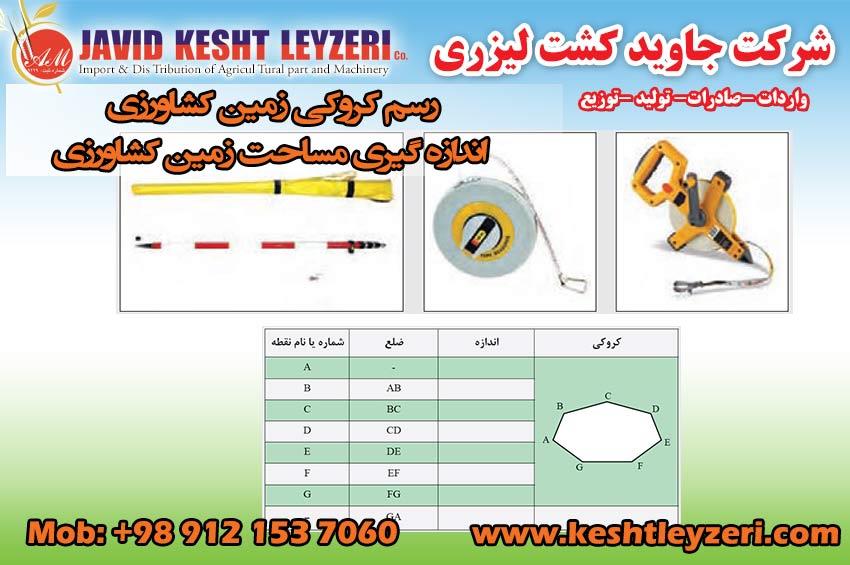
Drawing a sketch and measuring the area of agricultural land
javid keshtleyzeri Co.ltd
The importance of drawing a sketch for sampling
A sketch is the approximate shape and condition of the earth that we draw by moving on the sides of the earth. The purpose of soil sampling is to prepare a sample that represents the general characteristics of the land in question. To prepare such a sample, the sampling points must be determined correctly. Determining these points is easier and better by drawing a cropland sketch.
In this section, drawing a sketch of the land using the following limited tools and equipment is described, certainly for large lands, vehicles and GPS recording devices should be used to draw a sketch.
Draw a sketch and measure the land area
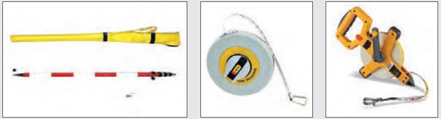
Required tools and equipment: tape measure (at least 50 meters), wooden nail, pencil, notebook and pencil
1 Wear appropriate work clothes and use personal safety equipment.
2 Consider pieces of land to draw a sketch.
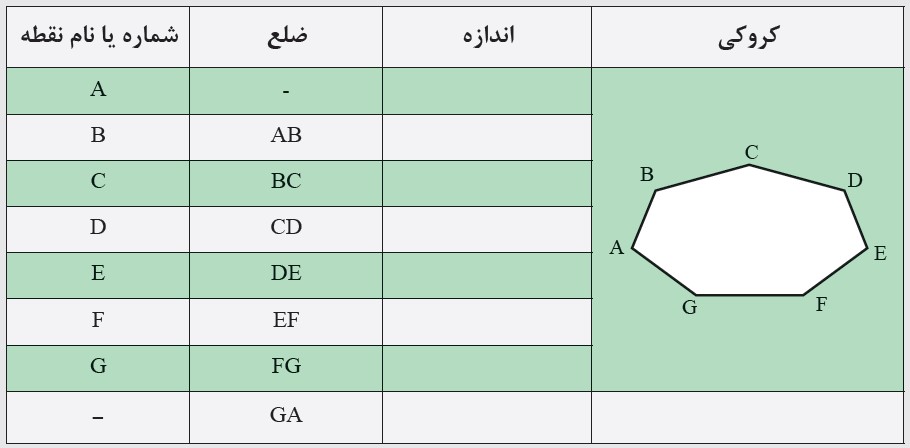
3 Draw a rough sketch of the earth on a page of your notebook. (in the table)
4. Knock a jalen or a wooden nail in each of the tops of the ground.
5. Carefully measure the size of the sides, which is actually the horizontal distance between two consecutive nails on the ground.
6. Write down the obtained measurements in the notebook on the sketch.
7. According to the obtained measurements, draw a more accurate shape of your farm.
8 Calculate the area of your farm in square meters or hectares.
If the field does not have a specific geometric shape, convert it into two or more geometric shapes. Then calculate the area of each shape separately and add them together. The most common way to convert polygon shapes into multiple triangles (triangulation) is by using the size of its sides.
Recent News